
Case Study
The GroundScope story — from GPS error to AI-powered earth insight
When precision fails, perspective begins.
GroundScope began as a troubleshooting mission. What looked like a simple GPS positioning issue grew into a broader rethinking of how ground data is captured, verified, and visualized for teams operating in the field.
A single GPS error exposed something bigger: the world’s “precise” data wasn’t all that precise.
01
The problem
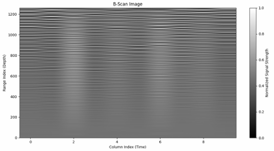
Construction, logistics, and agriculture companies rely heavily on GPS telemetry, but raw coordinate data is messy. Offsets, drift, multipath interference, and inconsistent elevation data make location accuracy feel more like a marketing promise than reality.
Our client came to us frustrated by hours lost correcting data that should have been right in the first place. The brief quickly evolved from fixing a device into reimagining how earth-bound movement is understood.
“We’re losing hours each week correcting data that should have been right in the first place.”
02
Discovery
Across hundreds of recorded routes, the team found systematic deviation patterns that traditional smoothing could not explain: shadowing from metal structures, soil reflection, and atmospheric bias. Every layer of noise started to reveal terrain behavior rather than simple error.
“What if every deviation held meaning?”
03
Engineering insight
The breakthrough came when the correction engine stopped simply fixing data and started learning from it. GroundScope evolved into an AI-assisted geospatial platform that blended real-time GPS telemetry with local sensor input and environmental context.
- Real-time GPS telemetry
- Local sensor inputs such as IMU, accelerometer, and soil data
- Environmental context, including satellite reflectivity, temperature, and humidity
- Model refinement on every run to better understand site-specific conditions
The result was stronger path consistency and highly accurate positioning in conditions where traditional systems struggled.
04
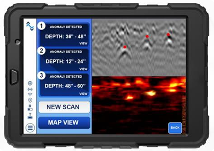
Designing for understanding
Complex data is only useful when teams can read it quickly. The GroundScope dashboard was reframed as a field-ready intelligence layer rather than a dense technical console.
- Color-coded terrain distortion visualization
- Dynamic accuracy heatmaps
- Predictive overlays that flag risky GPS zones before entry
Instead of showing more numbers, the interface delivers clarity at a glance.
05
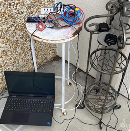
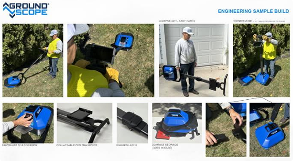
Deployment
06
Outcome
Within three months of deployment, GroundScope reduced correction workloads by 60% and improved predictive modeling for site layout teams. More importantly, it reframed GPS as a living conversation between machine, earth, and atmosphere.
Reduction in correction workload
To deliver visible performance gains after deployment
GPS reframed as a system that adapts to environmental reality
07
Reflection
The GroundScope story is a reminder that innovation often hides inside failure. Every misread signal, offset, and wrong coordinate became useful once the team learned to read it as feedback instead of noise.
“Sometimes precision is less about perfect numbers and more about understanding what they’re trying to tell you.”
Let’s build something clear, intelligent, and field-ready
Turn a technical challenge into a product advantage.
We design systems, interfaces, and digital experiences that make complex technology understandable and useful.